![]()
organizational structure
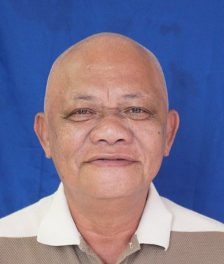
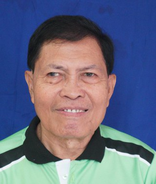
NILO Q. SALGA
PUNONG BARANGAY
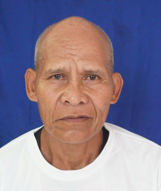
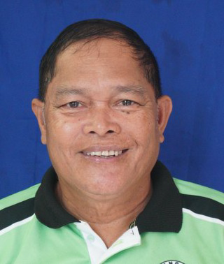
ISIDRO DESABILLE
BARANGAY KAGAWAD
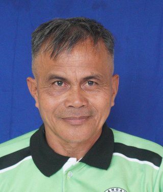
FERDINAND LANGANIN
BARANGAY KAGAWAD
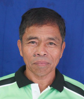
EDGAR EVACUADO
BARANGAY KAGAWAD
ERMEO EMPINADO
BARANGAY KAGAWAD

ALEJANDRO FERRER
BARANGAY KAGAWAD

VANESSA LUPIBA
BARANGAY KAGAWAD
ARMANDO BLANCO
BARANGAY KAGAWAD
JUAREL GALOPE
SANGGUNIANG KABATAAN (SK) CHAIRMAN
Barangay Geographic Profile
Barangay Ten is strategically located in the western portion of Poblacion proper and bounded in the south by Barangay 11, in the north by Barangay Kalasungay, in the west by Barangay Imbayao, and in the east by the Poblacion barangays. It has a total land area of 191.52 hectares. As a whole, Poblacion falls under the 4th type or intermediate B type with no very pronounced maximum rain period and no dry season. (not fixed since we will be requesting for resurvey of the Barangay boundary with our adjacent barangays.
The terrain of the barangay is characterized by big plains with a rolling portion in one of our Zone (Zone 6A) with one river and two creeks (Salubsob and a portion of Mamala Creek). The climate is temperate with a long rain period through which one could feel the coldness of the place all year round. The soil type is predominantly clay loam.
There are Eight Zones in the barangay. These sectors are equivalent to the puroks and sectors of other barangays. Each Zone has its own set of officials that the residents can consult to whenever they have concerns. The leader of each sector is shown in the following table.

Mission
In order to achieve this vision we, the people of Barangay 10, guided by the active and responsible leader, and in collaboration with the private sector, seek to address all the sectoral issues in education, health, nutrition, peace and order, youth and sports, infrastructure, economic and environment as well as administration and governance.
It is our desire and hope that we will be moving towards economically improved community and total human development.

Vision
We envision Barangay 10 as well developed community centered on Agri-business God fearing and ability to work in harmony with co-workers, to developed community centered on agriculture and business with healthier community and improved local environment and interpersonal competent, strategic and transparent individuals.
Historical Background
Long ago, on a portion of Mr. Fructuso Dumalahay’s land, which is one kilometer south of Malaybalay proper, grew a Balite tree. The tree grew so big and tall that it served as a resting place and landmark. It was made as a shade at noontime by inhabitants who are tilling the nearby farm lots. Every time passers-by saw those resting under the shade of the tree, they would ask “imba tag-inu kaw?” or what are you doing there? The usual answer was “Tagapalambong ah” which means, resting under the shade of the tree. The place where the Balite tree grew was later on called Impalambong, from the root word “Tagpalambong”.
The early inhabitants were mostly farmers producing crops such as corn, rice, abaca, and vegetables for their consumption. In 1912, the Spanish authorities appointed in succession the following prominent people to lead the community namely: Mr. Anking, Mr. Mampalaawod, and Mr. Juan Dugilmo, Father of the late ex-governor Lope Damasco. The four named leaders were responsible for laying down the territorial limits and political boundaries of the place. Until now the name Impalambong has been retained.
With the inflow of settlers coming from different provinces, the place became a residential zone. Slowly, it became an expansion area of the population. San Isidro College was also established in the area and so with other institutional buildings. The intermarriages between the Lumads and the Christian settlers paved the way for Christians to assume responsibility to lead.
In the early part of 1948, Mr. Feliciano Flores was designated by the Municipal Mayor to administer Impalambong. Later on, he was replaced by Mr. Melecio Quirab then followed by Juan Salang. Several prominent men, by their influence, were then designated by the succeeding Municipal Mayor to look after the welfare of the people of Impalambong.
With the declaration of Martial Law in 1972 PD 86, 86A, and 210 were passed creating barangays in the Poblacion or urban centers of municipalities and chartered cities where there are no existing barrios. The mayors of the chartered cities and municipalities were given the right to extend formal appointments of barangay chairmen and leaders in the area. With these provisions as a basis, the then Mayor Timoteo Ocaya appointed 20 Barangay chairmen and their respective leaders and further organized 20 Barangays (Citizen Assemblies) for the Poblacion alone. This was done in the middle part of 1973. The idea of creating 20 barangays in the Poblacion was patterned after that of the purok system because it was the system of the community at that time. The Municipal Mayor then automatically appointed all the purok presidents/leaders as barangay chairmen and converted the purok into barangays by the Law.
Considering that Impalambong has a large area and was inhabited by many people, the Municipal Mayor at that time, through a resolution, created 3 barangays and appointed 2 chairmen in the persons of Mr. Mariano Paulican for Barangay No. 18 who was later replaced by Dr. Florendo Cui; Mr. Mamerto Decano for Barangay No. 19; and Sgt. Segundino Langamin for Barangay No. 20.
After a year, Mayor Ocaya sensed that the group of 20 barangay chairmen has become unruly and a number of them signified intentions to resign from their posts. In addition, the Local Government Code mandates that each barangay should have at least 1,000 population, thus, the number of barangay was reduced from 20 to 11. As a result, political or administrative boundaries were also altered. It was then necessary to appoint a new set of barangay officials.
The barangays of Impalambong were then reduced from 3 to 2. What was supposed to be Barangay no. 18 was renamed Barangay 10 while Barangays no. 19 and 20 were fused into 1 and are now called Barangay 11.
The boundary set between Barangays 10 and 11 is in a southwest direction straight line toward the point where Lope Damasco St. intersects the old national road, then traversing the northwest direction along cadre barracks road up to its headquarters gate, then in a southwest direction along the Army Compound street up to point about 2,000 meters more or less.
Contact Information
Landline:
088-813-5753
email:
none