![]()
organizational structure
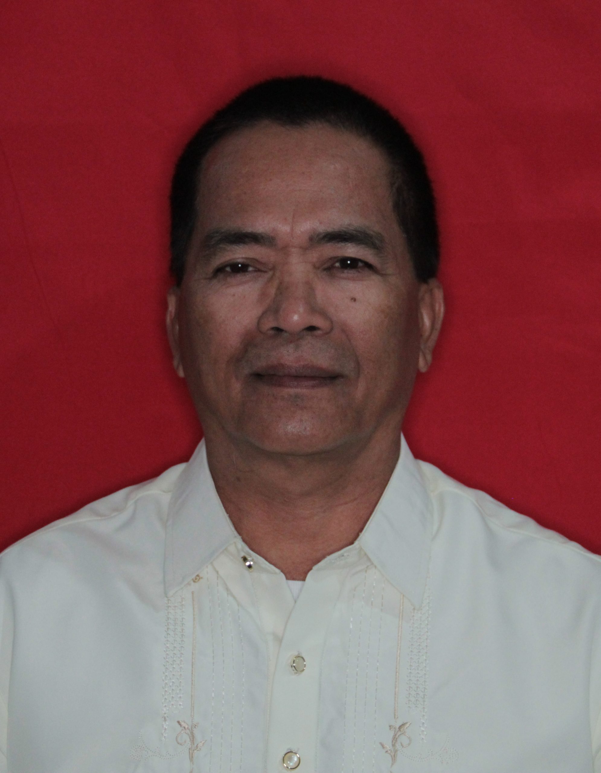
ENGR. ADRIAN R. GAmBOA
City Planning & Development Coordinator
administrative Unit

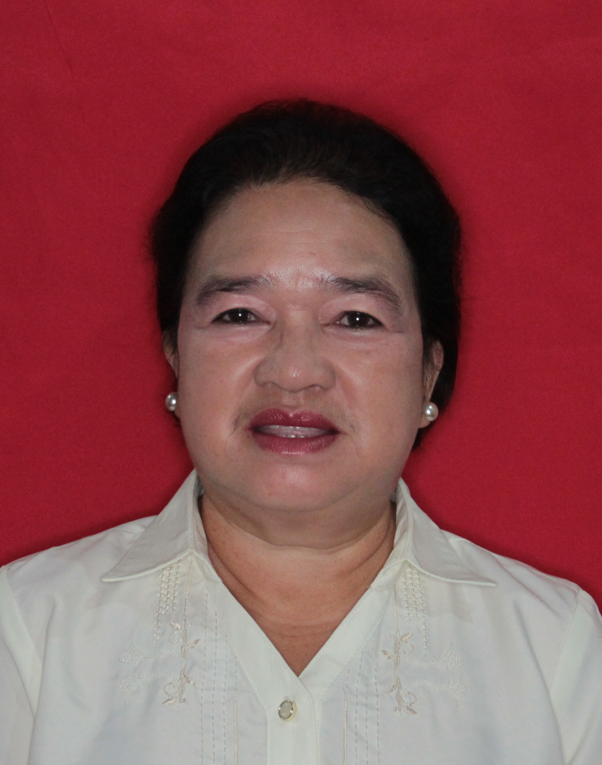
Consolacion p. rivera
Administrative Aide I (Records Officer I)

Regine O. Tolibao
Administrative Aide VI (Clerk III)
rochelle t. panang
Administrative Aide IV (Clerk II)
Joelito m. Flores
Administrative IV (Driver II)
planning, programming & zoning administration division
maria rosario g. saldua
Planning Officer IV
Planning section

marjorie z. toyhorada
Planning Officer II

maricel l. tagayuna
Economic Researcher
investment & Programming Section
henrietta p. suson
Project Development Officer III

angelie joy g. darangina
Project Development Officer II

achille m. cabañelez
Project Development Officer I
Zoning Administration Section
Darius Z. Munez
Zoning Officer III
PLANNING INFORMATION MANAGEMENT & MONITORING &EVALUATION DIVISION
MA. RENIE V. BINGAT
Statistician IV
Data Management Section

dianne r. estrada
Statistician III

kristina m. egnar
Statistician I
gina u. ceilo
Computer Programmer I
Geographic Information System Section

aia jessamine d. arresgado
information System Analyst III

ginno florencio c. balba
Information Systems Analyst I
Monitoring & Evaluation Section

esmeraldo h. herbieto
Project Evaluation Officer III
Office Description
There are two divisions under the City Planning and Development Office: The Research and Statistics Division (RSD) and the Planning, Monitoring, and Evaluation Division (PMED). Each division has two sections.
The RSD has Data Management Section and Geographic Information System (GIS). The Data Management Section is responsible for conducting in-depth research and data gathering needed for planning and prepares periodic reports of the situation of the city. The roles and responsibilities of GIS, however, are to develop & maintain geographic information system and other information system. The GIS section responsibility also includes coordinating with all departments of the City Government for spatial data needs and updating of information systems.
The PMED has also two sections. The first one is the Planning and Programming Section and the second one is the Monitoring and Evaluation System. The responsibilities of the first section is to formulate/update development plans of the city, propose the Local Investment Plan with respective breakdown (AIP, 20% DF, GAD, etc.), coordinate with all departments, national line agencies, barangays,and private sectors for planning & implementation of PPAs, and builds capacity of BDC & CDC in terms of planning. The roles of monitoring and evaluation section, however, are to develop monitoring tools, conducts monitoring & evaluation of PPAs, enforces and administers zoning ordinance & land use plan. Part of its roles also is to prepare project proposals.

A department with highly competent employees providing quality and customer-friendly services, responsive to the physical and spatial development requirements based on plans using relevant information and updated data derived from researches and continuing studies; implementing and monitoring projects through transparent systems and procedures with people’s participation

Understanding fully the responsibilities of public servants and driven by the strong determination to improve the image of government employees, we faithfully commit to be models of men and women in the bureaucracy by having moral courage, transparency fairness, integrity, honesty, responsibility and accountability to institute changes for the benefit of the general public
History
The City Planning and Development Office was previously part of the Municipal Engineer’s Office (MEO). The Municipal Engineer then was Engr. Teodocio Pabillaran. Under the MEO before is the Municipal Development Staff. Some of the staff from MDS was Herculano S. Ronolo, Sonia Dulanas, Renato Tolibao, Bonifacio Tadlas, Henrietta Suson, and Marilyn Paler. They were the first men and women of the Municipal Planning Development Office when it was created in 1985, with Mr. Herculano S. Ronolo as the Municipal Planning and Development Coordinator.
On February 11, 1998, under Republic Act 8490, Malaybalay was created into a city, thus, changing the name from Municipal to City Planning and Development Office. Mr. Herculano S. Ronolo was the CPDC until he retired from office in 2013. He was then succeeded by Engr. Adrian R. Gamboa and he is the CPDC until now. Mr. Ronolo, on the other hand, is currently serving as the City Administrator.
LATEST ACCOMPLISHMENTS
For 2022 the City Planning and Development Office (CPDO) started to collect spatial and social data for the updating of the Comprehensive Land Use Plan (CLUP). Several activities were already conducted at the barangay/community level to gather the data needed. Among these activities are the following:
- 1.) 5-Day Training Workshop on Climate and Disaster Risk Assessment last March 14-18, 2022 here at the People’s Hall attended by around 80 personnel from different departments of the City Government that are involved in the assessment. These included the City ENRO, City Agriculture, City DRRMO, City Housing, City Tourism, City Engineering, City SWDO, Agriculture and Biosystem Engineering Division, SP representatives, IP Mandatory Representative, Liga President, PESO, BUSECO, and Prime Waters.
-
2.) Infrastructure Facilities and Utilities Mapping. 46 barangays were visited by CPDO staff to map their respective facilities within the barangay. Facilities mapped include Water Facilities (Reservoir, Treatment Plant, MCWD,), Power Facilities (Electric Post, SubStations, BUSECO), Communication Facilities (Towers), Transportation Facilities (Terminals), Peace, Order and Safety Facilities (CVO Outpost, Police Station, Fire Stations), Agricultural Facilities (MPDPs, Warehouse, Irrigation, Dams), Health Facilities (Hospitals, Clinics, Health Centers, etc), Institutional Facilities (Churches, Schools), Government Offices (City Hall), and Private Offices Sports Facilities (Covered Court, Basketball Court).
Also included in the infrastructure facilities & utilities mapping are the agricultural facilities such as irrigation canals, dams, warehouses, MPDPs, Water Pump Stations for irrigation system and others. Updating of roads, bridges, streetlights, drainage canals, electrical lines, and waterlines is also done in coordination with the City Engineering Office, Water District and BUSECO. - 3.)Commercial Establishments Mapping. All commercial structures and establishments were also mapped out with the help of the barangays.
- 4.)Parcel/Agri-Mapping of 38 Barangays. All agricultural land parcels of the 38 barangays are mappe d out. This activity is mainly done by the City Agriculture personnel who know better the farmers and their agricultural lands. The CPDO provides technical assistance in the facilitation and conduct of the mapping and in processing or digitization of mapped parcels.
-
5.)Resource Mapping and Hazard Mapping of the 46 Barangays of Malaybalay City. Resource and Hazard Mapping was conducted by a pool of personnel from the office of CPDO, CDRRMO, City ENRO, and City Agriculture. Features gathered in resource mapping includes landmarks in the community, habitats, resources that provide food and other materials, uses, livelihood, opportunities and public issues and concerns.
For the hazard mapping, areas which are affected by hazards such as flooding, landslide and others were identified and delineated.
Currently, the CPDO staff is now in the process of digitizing and integrating all the gathered spatial and social data and getting ready for another round of community/barangay visits for CDRA and for filling out of other matrixes that require workshops and community interactions and input and for eventual planning session.
Legal assistance rendered to Barangay Simaya.
Contact information
Mobile No.:
0917 110 7717 (office)
0997 491 8757 (Zoning)
0926 842 6446 (Zoning)
email account:
cpdomalaybalay@gmail.com
Facebok page:
Cpdo Malaybalay